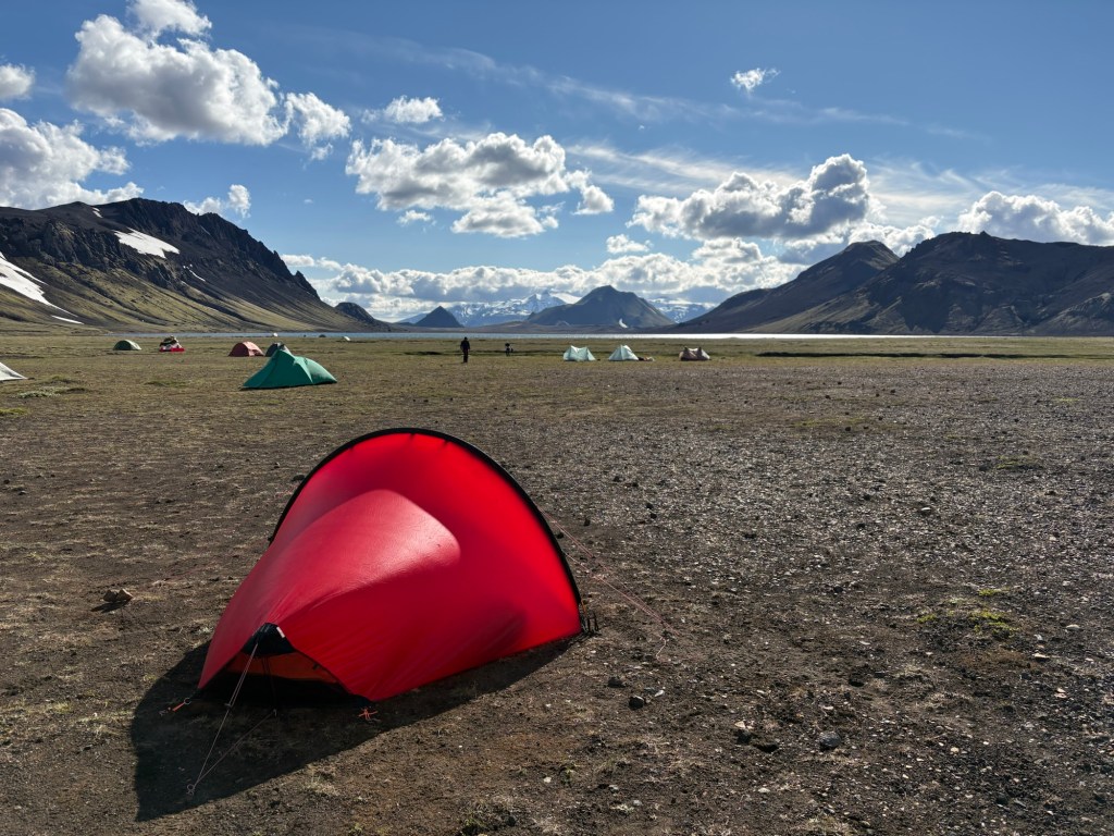
I have officially survived the trail that got me into backpacking: the Laugavegur Trail in Iceland—something I’ve been working toward for roughly two years. But I’ll share more on my personal journey another day because I want to record all the informational aspects of the trip before I forget the details.
Who should do this trail
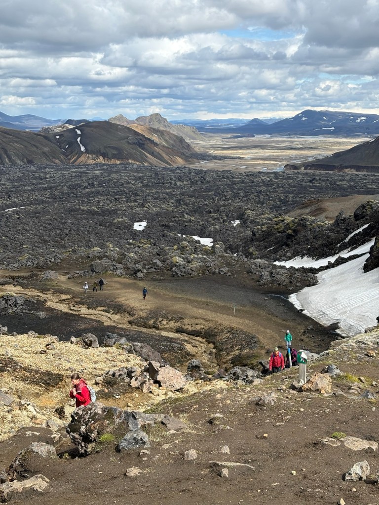
Almost everyone! But with preparation. It’s confusing because they call it “moderate” but I think it’s on the challenging side of moderate.
On the plus side, in early July there was nearly 24 hours of sunlight so time pressure is not in the equation. Water management is a non-issue because clean water is plentiful along the trail at hut sites. Navigation is clear and simple for the most part. And unlike other backcountry adventures you may embark on, you can take showers and use real toilets along the way.
What makes it challenging: first, the total unpredictability of the weather. Anyone coming from outside Iceland will need to book in advance, which means it’s a total gamble what conditions you’ll get. In bad weather, which in the arctic can mean heavy, horizontal rain and forceful winds, a moderate trail becomes difficult. (I won this gamble. I had to deal with the aftermath of a snow storm but otherwise had 3 days of sunshine and one day of wind and light rain.)
In addition, you (and your knees, ankles and quads) need to be able to handle some fairly strenuous inclines and descents, though very minimal scrambling. You need to have some stamina to navigate rocky and pebbly or sandy ground, which makes an easy trail tiring. There are glacial river crossings that require some preparation and knowledge to handle safely.
For reference I met people on this trail ranging from 20s to 60s and fit to unfit, though the majority were in shape. People went as part of organized groups, as a small self-organized group or duo, or solo.
Summary of the trek
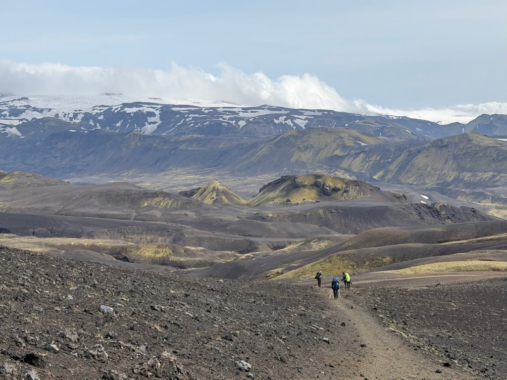
I did the trail in four days (many do) but some do it in 3 and ultra runners can do it all in one shot. I tent camped but huts are an option (book early and prepare to sleep in a room with strangers) as well as organized tours. The following is a typical north to south four day itinerary:
- Landmannalager to Hrafntinnusker (7.5 mi, 1,950 ft elevation gain, 330 ft elevation loss)
- Hrafntinnusker to Álftavatn (7.5 mi, 650 ft gain, 2,650 ft loss)
- Álftavatn to Emstrur (10 mi, 850 ft gain, 750 ft loss)
- Emstrur to Þórsmörk (10 mi, 700 ft gain, 2,400 ft loss, depending on exact endpoint)
The official trail length is 34 miles but I’d say with wandering about and going off trail sometimes it’s a bit more.
What I brought
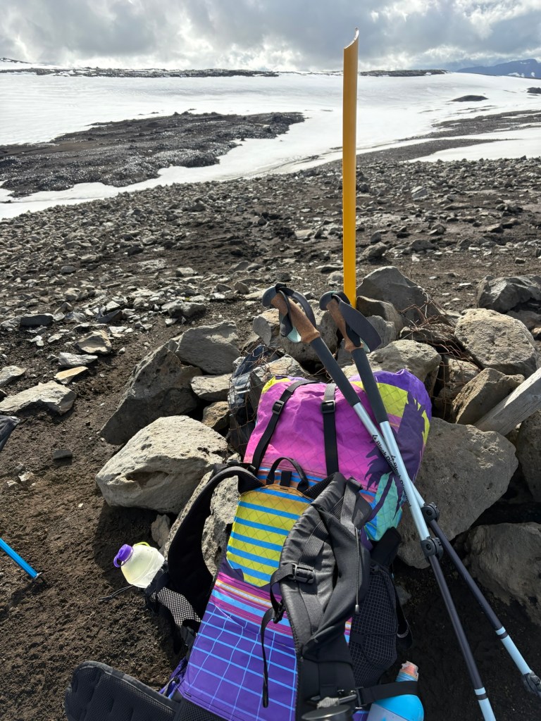
Big three were all wins for me
- Tent: Hilleberg Enan (this is a pricey lightweight “tunnel” style tent that can withstand wind better than my North American ultralight tents)
- Sleep system: Zenbivy Ultralight 25°F quilt combined with their 10°F sheet and flex air mattress; NEMO Fillo Elite pillow
- Pack: LiteAF Curve 46L
Other gear that turned out to be useful
- Trekking poles
- Eye mask and ear plugs (sleeping in sunlight all night is actually very trippy, you never know what time it is. Ear plugs help when the campsites get noisy)
- Cooking kit: Soto Windmaster, Toaks 750mL pot, long handled spork, and sea to summit collapsible cup (a luxury); I purchased fuel at a store called Ellingsen in Reykjavik
- Clothes I hiked in: Cotopaxi zip off pants with wool shorts underneath (my strategy was to roll them up for ankle deep water crossings, zip them off knee-deep, and remove them entirely for above the knee, but none of the rivers were above the knee when I went); wool sleeveless base layer under an Alpha Direct 90 hoodie (mine by Sambob); an Arc’teryx Alpha shell jacket; wool underwear and socks; light gloves; a wool buff; a regular cap (tbh I didn’t need this at all—it was so sunny it didn’t block anything—but I just always wear a cap); Ombraz armless glasses (this worked for both sun and wind)
- Clothes I carried: ultralight puffy jacket for camp (any will do); ultralight packable truly waterproof rain jacket and pants from Lightheart Gear, also waterproof rain mitts (High Tail Designs) and Z-Packs ankle gaiters in case of any sustained rain; wool long underwear and t-shirt for sleeping; extra wool socks and underwear
- Footwear: hiked in Hoka SpeedGoat 5s (GTX) that I sized up by 1 full size; carried Teva universal sandals for river crossings. Note: there are mixed recommendations on this but after the snow and slush I encountered, I 100% recommend waterproof over powering through with wet feet. Combining them with waterproof gaiters also ensures rain doesn’t drip down your pants and into the shoe.
- Toiletries: toothbrush, toothpaste, sunscreen (very important in 24-hour sunlight!), hand sanitizer, small eye dropper bottle of soap, a lightweight fast drying towel by Matador (clutch for river crossings and showers); usual poop kit and Kula cloth
- Electronics: 1x 20,000 mAh and 1x 10,000 mAh power bank; Garmin Messenger; Garmin Instinct Watch; DJI Action 6 with some peripherals; Flextail sleeping pad inflator; headlamp (just in case, but did not use); my phone on battery mode with offline maps and bus ticket QR codes downloaded
- Water: 2x one-liter water bottles
- Food: two meals for each day, trail snacks, Malaysian 2-in-1 instant coffee, hot chocolate, electrolytes; on day one I brought a fresh ham and cheese sandwich from a local bakery
- Organization: Zenbivy dry sacks and a nylofume pack liner
- Emergencies: usual first aid kit (small); gear repair stuff (tenacious tape)
- Luxuries: BTR stool by Hillsound (this might be MVP of my non-essentials), Gossamer Gear thin light foam pad, down booties for cold nights, Z-Packs camp slippers (enjoyed this because my Tevas were often wet from river crossings and showers), candy; my journal and a pen
Gear I carried but didn’t use and didn’t need at all
- Water treatment stuff (filling up my 2L before leaving camp each morning was more than enough for me)
- Neoprene socks for water crossings (it was easier to just go without)
- Bug head net (Iceland has very few bugs and when I did finally see some they left me alone/were not a bother—for this alone I might need to move here, lol)
- I ended with 2 uneaten meals left over (I personally just have very little appetite for big meals when hiking so I think in the future I will load up more snacks and fewer meals)
- I started off with a sun hoody (my fav at the moment is from Mountain Hardwear) and it was fine but as the days went on I decided I much preferred the base layer + alpha direct hoodie + shell combo better for this weather (windy but not cold, and not warm either)
Gear I left behind (and did not miss)
- Bug repellant
- Camp lighting
Logistics
How much time to allocate
Buses to the trailhead leave from Reykjavik very early in the morning and have a limited schedule on the return. That means you have to arrive in Iceland at least the day before, figure out where to store any suitcases etc., and have a contingency plan for if the weather delays your start. I booked three extra nights in Reykjavik in case I had to delay my start—but because I didn’t need to, I enjoyed three low key touristy days in a city I enjoy very much. Note: Iceland is a very expensive place for travel so budget accordingly.
For the return you will probably end up back in Reykjavik in the evening so you also need accommodation on the other side as well. Pro tip: if you stay in the same hotel on either side of the hike they will likely let you leave your stuff with them while you’re gone. If not, there are lockers at the bus station.
Getting to and from the trail
The two bus companies that go to Landmannalaugar and Þórsmörk are Reykjavik Excursions (they also operate Flybus, which does the airport transfers) and Trex. I took Trex out to the trailhead in part because they stop at City Hall which a closer walk from my hotel. Reykjavik Excursions makes more stops at the end of the trail and has a different schedule, so I took that back. They drop you off at the BSI Bus Terminal.
Þórsmörk actually has three areas you can end your hike: Langidalur, Básar and Húsadalur. The book I recommend below has more detail on each, but essentially Langidalur is probably the “main” hut and will have bathrooms and showers and such, just like other huts. Both buses stop there. Húsadalur has the volcano huts with more luxurious accommodations if you want to stay overnight in a shared hut, glamping tent or private cabin. It also has a restaurant with hot food, WiFi, and board games. They were showing the World Cup when I went. Básar is a bit further and supposedly has some nice tent campsites, but I didn’t see it.
Trex only stops at Langidalur and Básar while RE stops at all three. Important note: if you want to change where you get on the bus you can, but there won’t be guarantees they will hold your seat unless you confirm with them at least 24 hours in advance—difficult if 24 hours in advance you are on trail. So keep that in mind if you decide to change your plans last minute.
Other planning thoughts
Reykjavik is a really nice city to walk around in—lots of interesting foods to try, live music, summer activities due to the midnight sun, etc. There are also activities all around the country of course that you may want to try while you’re here. A hot spring or sauna is a really nice treat after hiking the Laugavegur.
Last note: if you have the funds there are many levels of convenience that you can pay for. You can have a company do all the planning and arrangements for you so all you need to do is show up an hike either with a guide or without; you can pay to have your pack sent between huts so you don’t have to backpack, even if you’re tent camping I think; you can skip the private and public buses and pay a driver to take you to the trail head and pick you up at the end. So there are many ways to do it. I backpacked the whole way takes so my costs were minimal (campsites were something like $30 each and showers were less than $10) and I’m glad I did it the way I did.
Resources and references
- ChatGPT (I will do a post on the best ways to use it)
- The only book you need: “Trekking Iceland’s Laugavegur Trail & Fimmvorduhals Trail: Two-Way Guidebook” by Andrew McCluggage
- Good old Reddit
- AllTrails (for the offline segment maps)
- Iceland SAR website for updated alerts on road and trail conditions
- For any indie gear I listed, I purchased direct from the maker if there was enough time, or purchased from Garage Grown Gear if I needed it quickly. I get most of my big brand stuff from REI for the member perks but for major purchases (like my tent) I buy from wherever I can save the most money (that thing was expensive!). Hilleberg tents are not common in the U.S. but I did see some other models pop up on Facebook Marketplace and eBay.



Leave a comment